
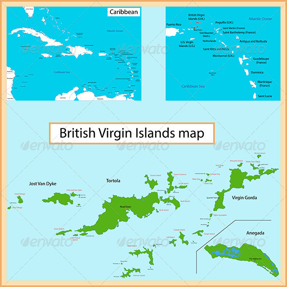
British Virgin Islands map
Gallery:

Vector map of the British Virgin Islands drawn with high detail and accuracy.
.AI and .EPS files divided into layers and sub-layers for easy manipulation.
Also added .PSD file of map of British Virgin Islands. File divided into layers and sub-layers for easy manipulation. You can see the structure of the layers in the screenshot
Filetypes: AI, EPS, PDF, JPEG (7000×7000 px), PSD, PNG transparent 12000×5600 px)
Colors: RGB color system
British Virgin Islands map
Gallery:
Similar graphics:
British Virgin Islands map
Gallery: