
South Sudan Map
Gallery:

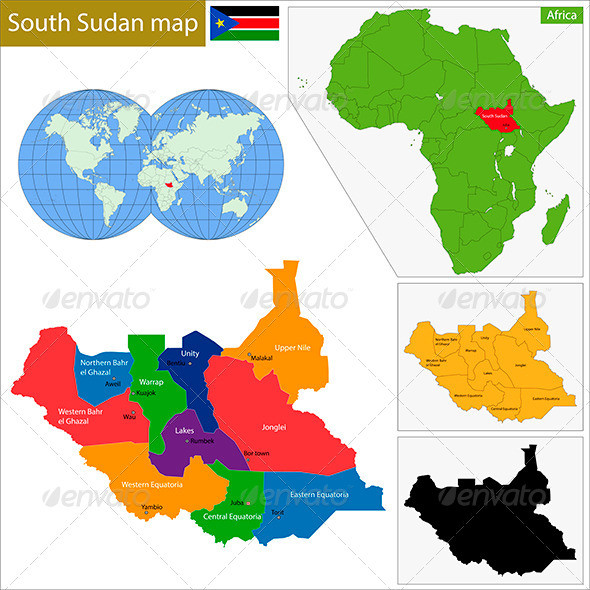
Vector map of the Republic of South Sudan drawn with high detail and accuracy. South Sudan is divided into governorates which are colored with different bright colors.
.AI and .EPS files divided into layers and sub-layers for easy manipulation.
Also added .PSD file of colorful map of South Sudan. File divided into layers and sub-layers for easy manipulation. You can see the structure of the layers in the screenshot
Filetypes: AI, EPS, PDF, JPEG (7000×7000 px), PSD, PNG transparent 9000×7000 px)
Colors: RGB color system