UK Layered Vector Map
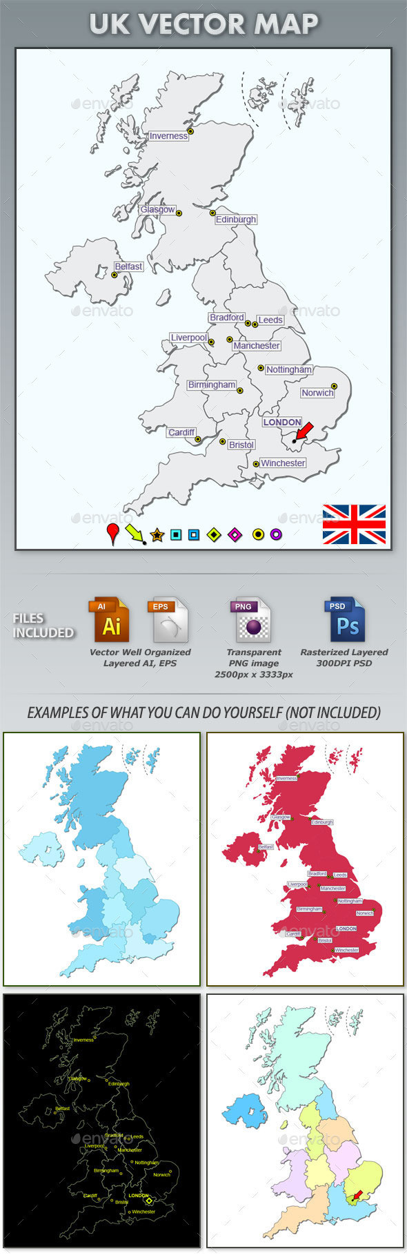
UK Layered Vector Map
Features:
- Separate layer for each region arranged alphabetically.
- AI and EPS files contain vector drawings in well-organized layers.
Note: 2eps files included (eps11: editable text, and eps10: outlined text) - PSD file contains well-organized rasterized layers of 300DPI.file.
- PNG, transparent PNG image 2500px x 3333px
- Bonus: 9 different map markers and the UK Flag.