


010_preview10.jpg 011_preview11.jpg 012_preview12.jpg 013_preview13.jpg 014_preview14.jpg 015_preview15.jpg 016_preview16.jpg 017_preview17.jpg 018_preview18.jpg 019_preview19.jpg 01_preview1.jpg 020_preview20.jpg 021_preview21.jpg 022_preview22.jpg 023_preview23.jpg 024_preview24.jpg 025_preview25.jpg 026_preview26.jpg 027_preview27.jpg 028_preview28.jpg 029_preview29.jpg 02_preview2.jpg 030_preview30.jpg 031_preview31.jpg 032_preview32.jpg 033_preview33.jpg 034_preview34.jpg 035_preview35.jpg 036_preview36.jpg 037_preview37.jpg 038_preview38.jpg 039_preview39.jpg 03_preview3.jpg 040_preview40.jpg 041_preview41.jpg 042_preview42.jpg 043_preview43.jpg 044_preview44.jpg 045_preview45.jpg 046_preview46.jpg 047_preview47.jpg 048_preview48.jpg 04_preview4.jpg 050_preview50.jpg 051_preview51.jpg 052_preview52.jpg 053_preview53.jpg 054_preview54.jpg 055_preview55.jpg 056_preview56.jpg 057_preview57.jpg 058_preview58.jpg 059_preview59.jpg 05_preview5.jpg 060_preview60.jpg 061_preview61.jpg 062_preview62.jpg 063_preview63.jpg 064_preview64.jpg 065_preview65.jpg 066_preview66.jpg 067_preview67.jpg 068_preview68.jpg 069_preview69.jpg 06_preview6.jpg 070_preview70.jpg 071_preview71.jpg 07_preview7.jpg 08_preview8.jpg 09_preview9.jpg
USA Maps with Animation
SlideKingdom is proudly present its second map edition – USA Maps with Animations
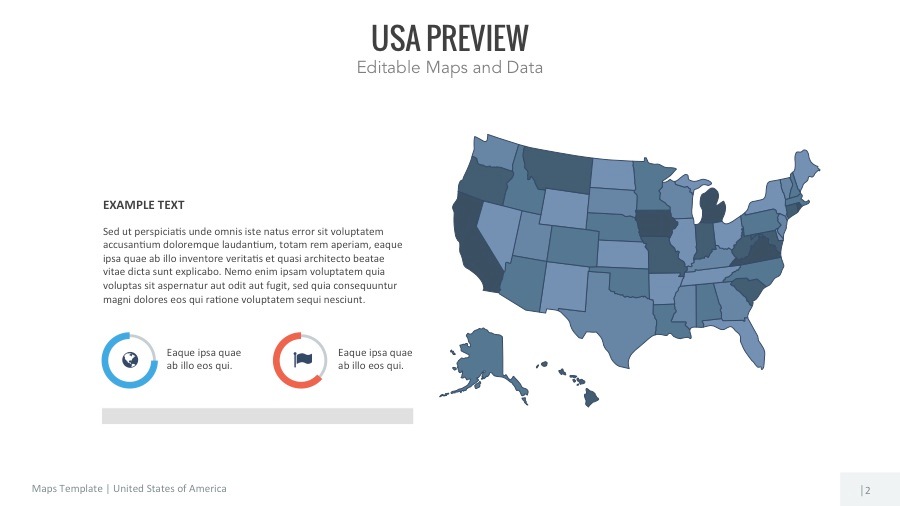
Engage your audiences’ attentions and communicate your ideas by using this visually appealing USA Maps with Animations. The maps can be easily broken down to countries.
All slides are fully editable with more than one template options (including HD size and PowerPoint Size).
Get in touch with our team on team.SlideKingdom@gmail.com if you need further assistance. We’ll be glad to help.
WHY SHOULD SlideKingdom?
- Fully editable and easy to recolor
- Three different templates are available inside
- Same style and design which will ease you to compile any slides from SlideKingdom
- 19:6 & 4:3 HD size and default power point size
- New product available every week
- Maps, Diagram, Chart-Data, and New Template will be launched soon
FEATURES:
- 16:9 corporate, default, blue and yellow color in PPT, PPTX and HD sizes
- 4:3 corporate, default, blue and yellow color in PPT, PPTX and HD sizes
- Icons related to the theme
- Full Animations slides
- PDF Guide and info