
Vector Coastal Topographic Maps
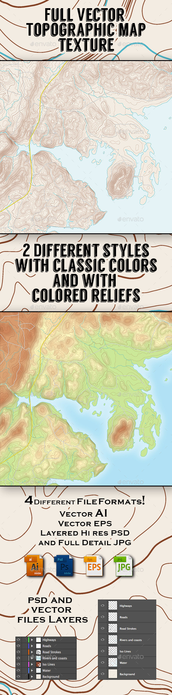
Vector Illustration of a Topographic Map. The illustrated zone is an area north of Centre, AL, USA. 2 Different set of files are included: one with Classic coloring and one with colored reliefs. Each set includes many files: - Vector Layered EPS - Vector Layered AI - Hi resolution layered Raster PSD - Hi resolution maximum quality JPG